
In brief
- Nantahala National Forest is the largest national forest in North Carolina, with 531,270 acres in the Forest Service Land Areas Report checked for this page.
- Its current framework is the 2023 Nantahala and Pisgah National Forests Land Management Plan.
- The forest record for this page includes three ranger districts, three wilderness areas, and one designated wild and scenic river on Nantahala: the Chattooga River.
- Recreation is central here, but the legal frame comes from Forest Service records, not destination summaries.
- This article reflects Forest Service unit, planning, wilderness, river, and land-area records checked on October 24, 2026.
Properties of Nantahala National Forest
The table fixes the basic record for Nantahala National Forest. When the Forest Service publishes a public value, we use that value and name the source. When the sources checked for this article do not support a precise entry, the table says “not known.”
| Property | Value | Source |
|---|---|---|
| State | North Carolina | Forest Service unit and planning records, checked Oct. 24, 2026 |
| Forest Service region | Southern Region | 2023 Nantahala and Pisgah National Forests Land Management Plan, checked Oct. 24, 2026 |
| Total area | 531,270 acres | 2024 Land Areas Report, checked Oct. 24, 2026 |
| Established | 1920 | 2023 Nantahala and Pisgah National Forests Land Management Plan, checked Oct. 24, 2026 |
| Ranger districts | Cheoah Ranger District, Nantahala Ranger District, Tusquitee Ranger District | 2023 Nantahala and Pisgah National Forests Land Management Plan, checked Oct. 24, 2026 |
| Wilderness areas | Joyce Kilmer-Slickrock Wilderness, Southern Nantahala Wilderness, Ellicott Rock Wilderness | Forest Service wilderness records for North Carolina and the 2024 Land Areas Report, checked Oct. 24, 2026 |
| Wild and scenic river | Chattooga River | 2023 Nantahala and Pisgah forest plan wild and scenic river appendix, checked Oct. 24, 2026 |
| ESA-listed species noted in plan area | ESA review applies at the plan and project levels; a forest-wide species list for this page is not known from the unit page alone | 2023 Nantahala and Pisgah National Forests Land Management Plan and Forest Service project-review framework, checked Oct. 24, 2026 |
| Current forest plan | Nantahala and Pisgah National Forests Land Management Plan, 2023 | Forest Service planning record and Federal Register notice of approval, checked Oct. 24, 2026 |
| Recent project or litigation | Not known from the sources retained for this grid | Forest Service projects, alerts and planning pages checked Oct. 24, 2026 |
The acreage line uses the Forest Service’s Land Areas Report value. That matters more than a rounded tourism figure, because this article tracks the current forest record, not brochure language.
Where it sits in western North Carolina
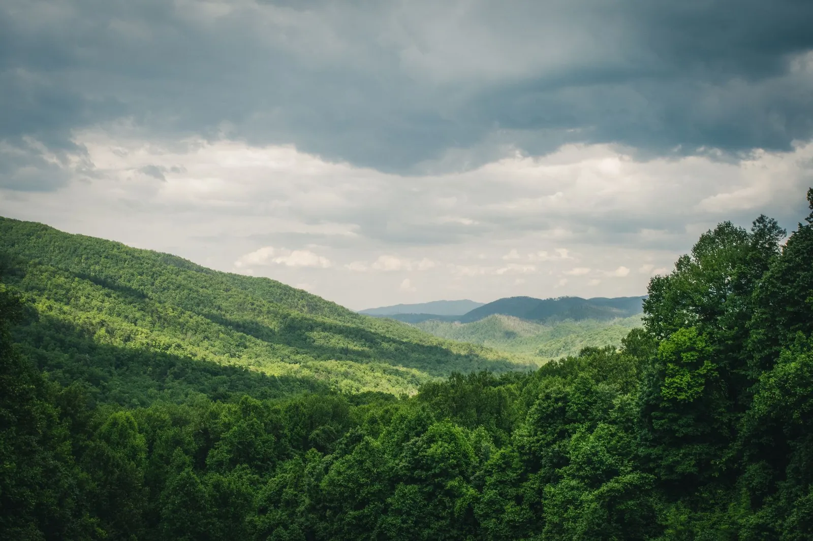
Nantahala National Forest lies in western North Carolina, in the Appalachian mountain and valley country near the far southwestern part of the state. Forest Service planning records place the Nantahala and Pisgah forests in an 18-county western North Carolina region, and describe Nantahala as the forest of the mountains and valleys of southwestern North Carolina.
That location explains why people search for Nantahala as an outdoor destination and why planners, lawyers, and agency staff treat it as a federal land unit. It is not the same thing as Great Smoky Mountains National Park. A national forest is managed by the Forest Service in the U.S. Department of Agriculture. A national park is managed by the National Park Service in the Department of the Interior.
The forest also sits inside the Blue Ridge and southern Appalachian landscape. We do not use “rainforest” as a management category here. It is a visitor description, not the source of the Forest Service’s duties.
The 2023 Nantahala and Pisgah forest plan
The main management document for Nantahala is the 2023 Nantahala and Pisgah National Forests Land Management Plan. A forest plan is not a campground brochure, a trail map, or a permit. It is the Forest Service’s long-range framework for how the forest is managed.
The plan sets desired conditions, standards, guidelines, and management areas. In plain terms, it tells the agency how to think about recreation, timber, fire, water, wildlife habitat, scenery, roads, wilderness, and special areas across the forest. It also gives Nantahala a shared planning framework with Pisgah National Forest.
That shared plan does not merge the two forests into one place on the ground. Nantahala still has its own districts, valleys, creek systems, and recreation patterns. The plan gives the agency a common rulebook, while later decisions still happen project by project.
This is where people often slip. A plan may allow or guide a category of activity, but it does not authorize every road change, timber sale, prescribed fire, campground change, or habitat project by itself. Those later actions need their own record, their own decision document, and, when the law requires it, their own public process. Temporary closures and safety alerts are separate again.
Wilderness, river, and species in the forest
Nantahala’s common grid includes three wilderness areas: Joyce Kilmer-Slickrock, Southern Nantahala, and Ellicott Rock. Some wilderness areas cross forest or state boundaries, so the name of the area does not mean every acre sits only inside Nantahala National Forest.
A wilderness designation is a legal status under the Wilderness Act. It is not just a scenic label. Wilderness usually means tighter federal management, with limits on roads, motorized equipment, and development, subject to the statute and any special provisions that apply to that unit.
The designated wild and scenic river line for Nantahala is the Chattooga River. Under the Wild and Scenic Rivers Act, a river or river segment is protected because of free-flowing condition and outstandingly remarkable values. That is different from “popular with rafters.” The Nantahala River and Nantahala Gorge matter to the forest’s geography and recreation identity, especially for whitewater rafting, but they are not the designated river listed in this grid.
Horsepasture River is also a designated wild and scenic river in western North Carolina, but the 2023 Forest Service wild and scenic river appendix places Horsepasture on the Pisgah National Forest, not on Nantahala. For a Nantahala grid, combining Chattooga and Horsepasture would blur the legal record.
ESA-listed species means species listed as endangered or threatened under the Endangered Species Act. The 2023 Nantahala and Pisgah plan, and later project review, must account for listed species when the law applies. We are not fixing a forest-wide species list here, because the unit-page sources do not give one stable list that belongs in a common grid.
How Nantahala compares with the rest of North Carolina’s national forests
The Forest Service describes Nantahala as the largest of North Carolina’s four national forests. The other three are Pisgah, Croatan, and Uwharrie. That comparison matters because search results often lead with recreation pages, while the legal question starts with forest identity, size, and management frame.
| Forest | State context | Acres stated in this page’s retained source set | Current plan context |
|---|---|---|---|
| Nantahala | Western North Carolina | 531,270 acres | 2023 joint Nantahala-Pisgah plan |
| Pisgah | Western North Carolina | not stated in this page’s retained source set | 2023 joint Nantahala-Pisgah plan |
| Croatan | Coastal North Carolina | not stated in this page’s retained source set | Separate North Carolina forest context |
| Uwharrie | Central North Carolina | not stated in this page’s retained source set | Separate North Carolina forest context |
So the safe comparison is modest and sourced. Nantahala is the largest North Carolina national forest, and it shares its current land management plan with Pisgah. It does not share the same ranger districts, and it does not sit in the same mountain setting.
Recreation context, but not the whole story
Recreation is a major use of Nantahala National Forest. Forest Service materials describe whitewater rafting, camping, picnicking, hiking, mountain biking, horseback riding, and off-highway vehicle riding across the Nantahala and Pisgah forests. Search demand also clusters around Nantahala National Forest trails, camping, fishing, photos, visitor centers, and maps.
Common names include the Appalachian Trail, Wayah Bald, Fontana Lake, Nantahala Gorge, Joyce Kilmer Memorial Forest, Tsali Recreation Area, Whiteside Mountain, and Dry Falls. Those places help orient a reader, and they are real parts of how people use the forest. Still, they do not replace the forest plan, the wilderness records, or the river records.
Can you drive through Nantahala National Forest? Yes, in places. Roads and scenic drives cross or border parts of the forest. The legal and practical answer for any given day comes from Forest Service road status, closure orders, and alerts, not from a general destination writeup.
Recent projects, closures, or litigation
This article includes a recent-project or litigation line because forest management changes through dated decisions, orders, and court records, not only through the forest plan. For this version, no single Nantahala-specific project, closure, or lawsuit was retained as a stable grid value from the Forest Service projects, alerts, and planning pages checked on October 24, 2026.
That does not mean nothing is happening on the forest. It means we are not promoting a temporary alert, a local report, or an unsourced recreation notice into a permanent property. If a later update needs a dated Forest Service decision, closure order, or court record, that is the place to add it.
Nearby forest context
Nantahala belongs in the Southern National Forests collection because it is one of the National Forest System units covered for Alabama, North Carolina, and Florida. Its closest comparison inside the North Carolina mountain group is Pisgah National Forest, because the two forests share the 2023 Nantahala-Pisgah land management plan while remaining separate forest units.
Primary sources
- Land Areas of the National Forest System: As of September 30, 2024, USDA Forest Service.
- Nantahala and Pisgah National Forests Final Land Management Plan, USDA Forest Service.
- Final Record of Decision for the National Forests in North Carolina, Federal Register / USDA Forest Service.
- Nantahala and Pisgah National Forests Revised Land and Resource Management Plan, Appendix F: Wild and Scenic River Evaluation Process, USDA Forest Service.
- Wilderness & Wild and Scenic Rivers & Wilderness Study Areas: North Carolina, USDA Forest Service Geodata Clearinghouse.
- Horsepasture River, National Wild and Scenic Rivers System.
Sources accessed October 24, 2026.