
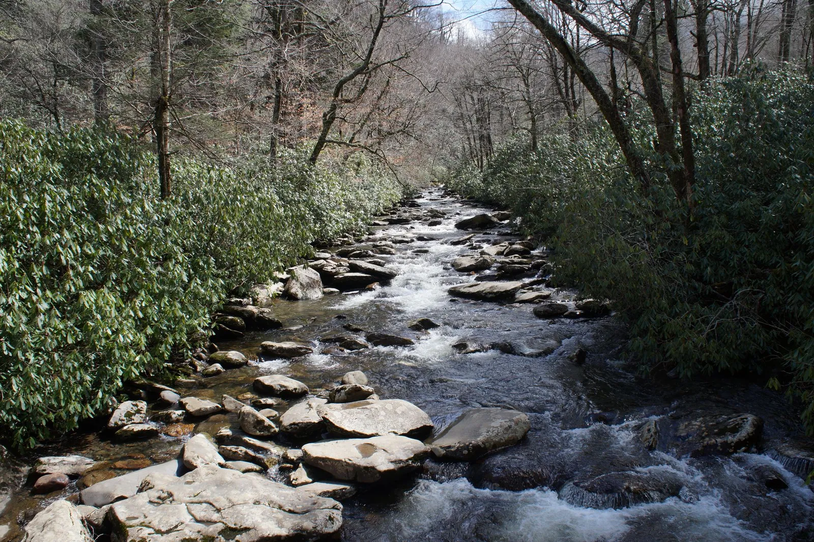
South Toe River record
The South Toe River is a river in Yancey County, western North Carolina, in the Toe River system within the Nolichucky hydrologic unit. This page reads the river through public records: watershed position, Forest Service context, North Carolina water classification, USGS monitoring, and species notes. It is not a fishing, camping, swimming, or tubing guide. Latest record check: October 24, 2026. If a supplied primary record does not confirm a value, the value stays not known.
- Yancey County, North Carolina
- public-record location
- Nolichucky hydrologic unit
- watershed context
- Black Mountain / South Toe River Area
- Forest Service record
- Class B, Tr, HQW
- North Carolina classification
South Toe River at a glance
A watershed is the land area draining toward a common stream, river, or outlet. A water quality classification is a North Carolina regulatory category for a waterbody. A listed species is a species formally listed under the Endangered Species Act.
| Property | Value | Source |
|---|---|---|
| River name | South Toe River | USGS station record for South Toe River Near Celo, NC, station USGS-03463300, accessed October 24, 2026 |
| State and county | North Carolina, Yancey County | USGS station record; U.S. Fish and Wildlife Service media record, accessed October 24, 2026 |
| Nearby community | Burnsville, NC | U.S. Forest Service Black Mountain / South Toe River Area record |
| Watershed | Nolichucky subbasin hydrologic unit, HUC 06010108 | USGS water data page, accessed October 24, 2026 |
| National forest context | Pisgah National Forest context within Southern National Forests | U.S. Forest Service recreation record |
| Forest Service area | Black Mountain / South Toe River Area, Appalachian Ranger District | U.S. Forest Service recreation record |
| North Carolina water quality classification | Assessment unit 7-2-52-(1): Class B, Tr, HQW | North Carolina DEQ French Broad River basin record, 2011 basin plan |
| Recreation context | Camping, picnicking, fishing, swimming, tubing, biking, and horseback riding are listed for the area | U.S. Forest Service recreation record |
| Species record | Appalachian elktoe critical habitat Unit 6 includes the South Toe River in Yancey County, about 22.6 km, or 14.1 mi | U.S. Fish and Wildlife Service final critical habitat rule, September 27, 2002 |
| Monitoring record | South Toe River Near Celo, NC, station USGS-03463300 | USGS water data page, accessed October 24, 2026 |
Where the river sits in the watershed
The USGS station record places South Toe River Near Celo in the Nolichucky subbasin hydrologic unit, HUC 06010108. That is the cleanest public-data frame for the river without guessing at an exact upper or lower reach.
The river appears in several government records that answer different questions. A forest recreation page, a state classification table, a USGS station, and a species rule can all name the same river without saying the same thing. For the larger Clean Water Act frame, see Water and Wetlands.
What the water classification does, and does not, say
North Carolina DEQ water quality classifications are regulatory labels. They can identify a designated use or management condition when the applicable rule or table says so. For South Toe River assessment unit 7-2-52-(1), the French Broad River basin record lists B, Tr, HQW.
That classification does not prove that the water is safe to swim in today. It does not report current storm flow, bacteria levels, road washouts, chemical spills, closure orders, or site conditions. The Forest Service record supplies recreation context; the DEQ record supplies the segment classification. Current use still depends on current notices, flow data, and closures.
National forest context
The Forest Service record places the South Toe River in a public land setting. The Black Mountain / South Toe River Area record identifies the Appalachian Ranger District near Burnsville and describes the area as including the Black Mountains, the Blue Ridge, and the headwaters of the South Toe River.
That record is useful, but it is not a complete legal status report. A recreation page does not establish a water quality class, critical habitat, or species listing. Those statuses come from separate records.
Species and fish records
Search results for the South Toe River often emphasize fly fishing, brook trout, brown trout, rainbow trout, hatchery language, or catch-and-release rules. That material may matter to anglers, but it is not the species record that controls this page.
The primary species record used here is the U.S. Fish and Wildlife Service final rule designating critical habitat for the Appalachian elktoe. In that rule, Unit 6 includes the South Toe River in Yancey County, with an approximate length of 22.6 kilometers, or 14.1 miles. We do not turn nearby habitat, fishing descriptions, or mountain-stream assumptions into a broader species claim.
How this record differs from a fishing or camping guide
This page starts with official records: who names the river, which county it appears in, which watershed it belongs to, which agency records mention it, and which values are confirmed.
That is why it separates water classification from swimming conditions, recreation context from legal status, and a critical habitat rule from fishing descriptions. The point is not to tell you where to camp or fish. It is to show what the public record says.
Compared with nearby records
Nearby records can look interchangeable when they use the same place names. They are not. The Forest Service area record explains public recreation context. The USGS station record locates a monitoring point and watershed unit. The North Carolina DEQ basin record gives the state classification for a specific assessment unit. The Fish and Wildlife Service rule identifies critical habitat for a listed mussel.
Reading them together gives a fuller record. Substituting one for another creates errors.
Sources used for this page
This page uses the U.S. Forest Service Black Mountain / South Toe River Area recreation record; the USGS South Toe River Near Celo, NC, station USGS-03463300 record; the U.S. Fish and Wildlife Service media record for the South Toe River; the U.S. Fish and Wildlife Service final Appalachian elktoe critical habitat rule dated September 27, 2002; and the North Carolina DEQ French Broad River basin classification record for assessment unit 7-2-52-(1).
Related pages
For the broader public-land frame, start with Public Lands. For federal species protection, see Endangered Species.
Primary sources
- Monitoring location South Toe River Near Celo, NC - USGS-03463300, U.S. Geological Survey.
- French Broad River Basinwide Water Quality Plan, North Carolina Department of Environmental Quality.
- Endangered and Threatened Wildlife and Plants; Designation of Critical Habitat for the Appalachian Elktoe, U.S. Fish and Wildlife Service.
- South Toe River, U.S. Fish and Wildlife Service.
- Black Mountain / South Toe River Area, U.S. Forest Service / Recreation Information Database.
Sources accessed October 24, 2026.