
En bref
Tuskegee National Forest is Alabama’s smallest national forest. It sits in Macon County, and its modern shape comes from land the federal government bought in the 1930s under New Deal land programs, then proclaimed as Tuskegee National Forest in 1959.
- Alabama
- state
- Macon County
- location
- 11,347 acres
- National Forest System land area
- 1959
- national forest proclamation
Overview
Tuskegee National Forest lies in east-central Alabama, west of Auburn, in Macon County. It is part of the National Forests in Alabama, managed by the U.S. Forest Service within the Department of Agriculture. For the wider unit context, see National Forests in Alabama.
This page reflects Forest Service unit information, the USDA Forest Service Land Areas Report as of September 30, 2024, the 2004 Revised Land and Resource Management Plan for the National Forests in Alabama, and Encyclopedia of Alabama material checked in October 2026.
Properties of Tuskegee National Forest
This fiche uses the same grid as the other Southern national forest pages. If a source does not state a fact clearly, we mark it as not known.
| Property | Value | Source |
|---|---|---|
| State | Alabama | U.S. Forest Service unit page |
| County / location | Macon County, east-central Alabama, west of Auburn | U.S. Forest Service unit page |
| Acres | 11,347 acres of National Forest System land | USDA Forest Service Land Areas Report, 2024 |
| Established / acquired | Federal land was bought in the 1930s; Tuskegee National Forest was proclaimed in 1959 | Encyclopedia of Alabama; Presidential Proclamation 3326 |
| Managing unit | National Forests in Alabama, U.S. Forest Service, USDA | U.S. Forest Service unit page |
| Ranger district | Tuskegee Ranger District | U.S. Forest Service unit and recreation pages |
| Wilderness areas | None identified for Tuskegee National Forest in the sources checked | National Forests in Alabama wilderness information |
| Wild and scenic rivers | None identified for Tuskegee National Forest in the sources checked | National Wild and Scenic Rivers System information and Forest Service materials checked October 2026 |
| ESA-listed species | not known from the sources checked for this fiche | Official species and Forest Service materials checked October 2026 |
| Current forest plan | Revised Land and Resource Management Plan for the National Forests in Alabama, January 2004 | National Forests in Alabama forest plan |
| Recent projects or litigation | Tuskegee Radio Repeater Tower Replacement, last updated September 2, 2025; no Tuskegee-specific litigation identified in the sources checked | U.S. Forest Service project materials checked October 2026 |
Tuskegee is federal National Forest System land, not a state park or private recreation area. Access, timber, wildlife, soil, water, and road decisions sit inside the Forest Service planning system for the National Forests in Alabama.
Where Tuskegee sits in Alabama
Tuskegee National Forest is in Macon County, near Auburn, in the east-central part of the state. The Forest Service describes it as lying west of Auburn. People often search for it with Auburn, the Tuskegee ranger station, hiking trails, hunting maps, or the shooting range.
For current access, a map is only a starting point. Forest roads, trail status, camping rules, hunting seasons, fishing access, alerts, permits, and office hours can change. Official Forest Service pages, plus state wildlife rules where they apply, are the sources to check before you go.
From worn-out farmland to national forest
The real story here is land history. Encyclopedia of Alabama describes Tuskegee National Forest as land the federal government bought in the 1930s after farming had depleted the soil. The same source describes eroded, worn-out farmland bought for forestry, wildlife management, and recreation.
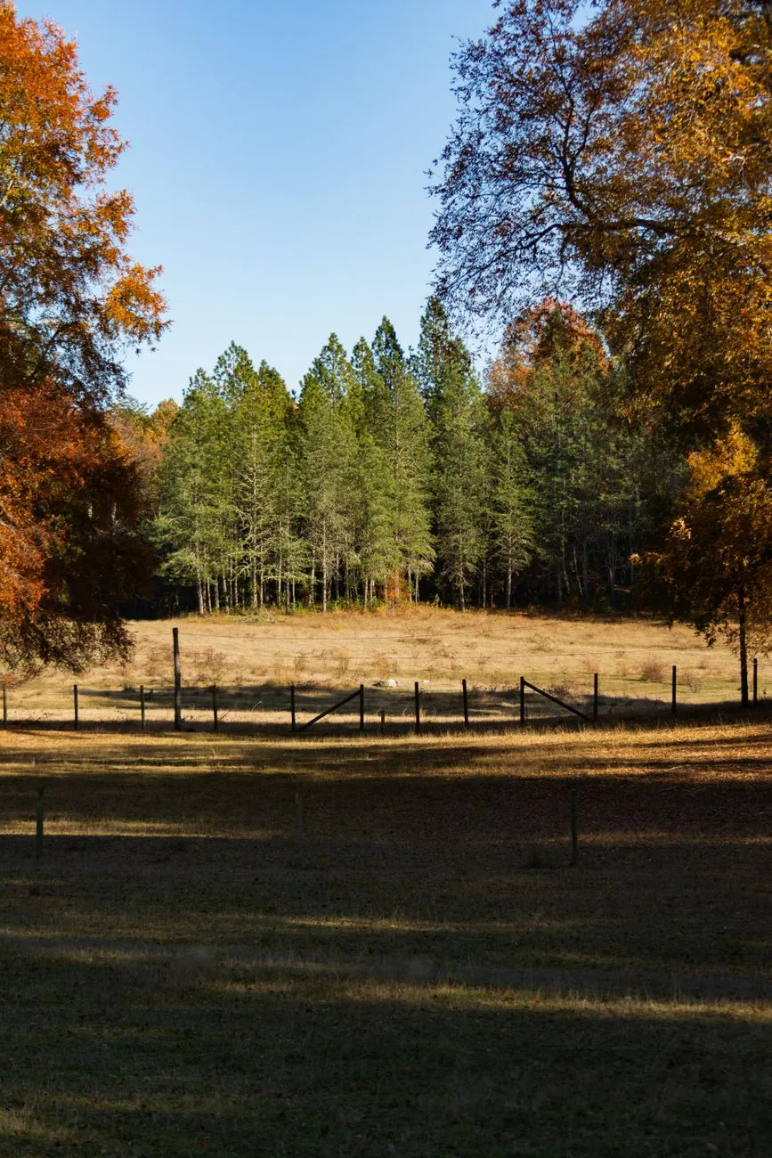
That origin still shapes how the forest reads today. This is not just a small patch of woods with a recreation page. It is a conservation landscape assembled from damaged farmland. The current cover, roads, streams, wildlife habitat, and recreation sites sit on ground already pushed hard by farming before the federal government stitched it together as a national forest.
The Forest Service manages the unit under the National Forests in Alabama plan, which sets direction for land, vegetation, recreation, habitat, soil, water, and other uses.
How small is Tuskegee compared with other Alabama forests?
Tuskegee is the smallest national forest in Alabama. It is compact enough that a few named sites carry much of the public attention. Talladega National Forest gives the sharper contrast: it is much larger and works at a different scale.
| Forest | State | Acres | Relative scale | Main contrast |
|---|---|---|---|---|
| Tuskegee National Forest | Alabama | 11,347 | Baseline | Small Macon County forest assembled from worn-out farmland |
| Talladega National Forest | Alabama | about 395,000 | About 35 times larger than Tuskegee | Much larger Alabama forest with multiple districts and broader mountain and upland settings |
That comparison is more useful than calling Tuskegee “small” and stopping there. On a compact unit, access issues, trail status, and recreation conflicts can show up quickly, with less room to spread them across the landscape.
Recreation and access: what the official pages cover
The official Tuskegee pages lean heavily toward recreation. Read them as an access record, not as a ranked guide to “the best” anything.
The Forest Service pages are the place to check hiking and trail use, including the Bartram Trail where it is shown on official Tuskegee maps. They also cover biking and mountain biking, including Pleasant Hill Mountain Bike Trail information where published, plus hunting and fishing rules, camping status, the Uchee Shooting Range, visitor maps, alerts, permits, recreation fees, and office notices.
A common mistake is to treat recreation listings as permanent. They are not. A route can be open one season and closed the next, and a range can change status without much warning. For Tuskegee, current conditions matter more than any general description.
Current management and plan status
Tuskegee National Forest is managed by the U.S. Forest Service, an agency of the U.S. Department of Agriculture, as part of the National Forests in Alabama. The current forest plan cited for this fiche is the January 2004 Revised Land and Resource Management Plan for the National Forests in Alabama.
That plan is not a day-to-day operating schedule. Road work, prescribed fire, timber projects, habitat actions, recreation changes, and permits show up through current project files and recreation notices, not in the plan by itself.
For recent Tuskegee-specific projects, the Forest Service project materials checked for this page show the Tuskegee Radio Repeater Tower Replacement, last updated September 2, 2025. The sources checked did not give a clear Tuskegee-specific litigation item to summarize.
Nearby and related forests
Tuskegee’s closest useful comparison is Talladega because both are Alabama national forests, but they differ sharply in size and setting. Use the larger forest as a scale check, not as a substitute for Tuskegee’s access pages.
Related page
- Talladega National Forest
Larger Alabama forest for scale comparison
Primary sources
- FS-383: Land Areas of the National Forest System as of September 30, 2024, USDA Forest Service.
- National Forests of Alabama, Encyclopedia of Alabama.
- Proclamation 3326: Establishing the Tuskegee National Forest, Alabama, the Oconee National Forest, Georgia, and the Tombigbee National Forest, Mississippi, The American Presidency Project.
- Revised Land and Resource Management Plan: National Forests in Alabama, USDA Forest Service.
- Tuskegee Radio Repeater Tower Replacement: Project Summary, U.S. Forest Service.
- Tuskegee National Forest Trail Map, U.S. Forest Service.
Sources accessed October 24, 2026.